Frigid airmass followed by coastal storm potential this weekend
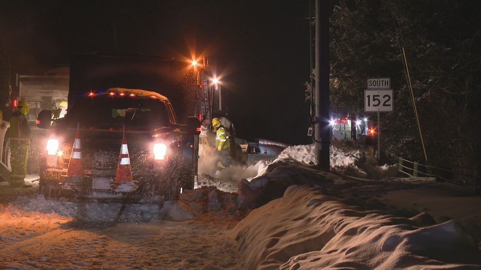
Winter remains in full gear this week as highs only manage the mid 20s at a maximum. Feels-like temperatures tomorrow morning head into negative territory again, with more of the same slated for Friday and Saturday.
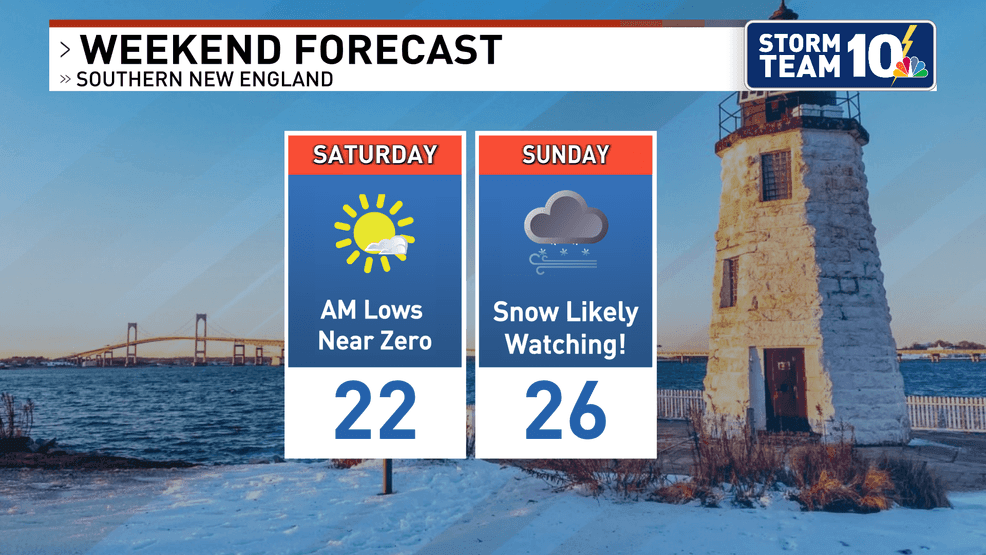
After a bitter Friday with highs in the teens, temperatures look to finally head towards freezing early next week. Low temperatures Saturday morning may even head into the negatives in Providence which would be for the first time since February of 2023.
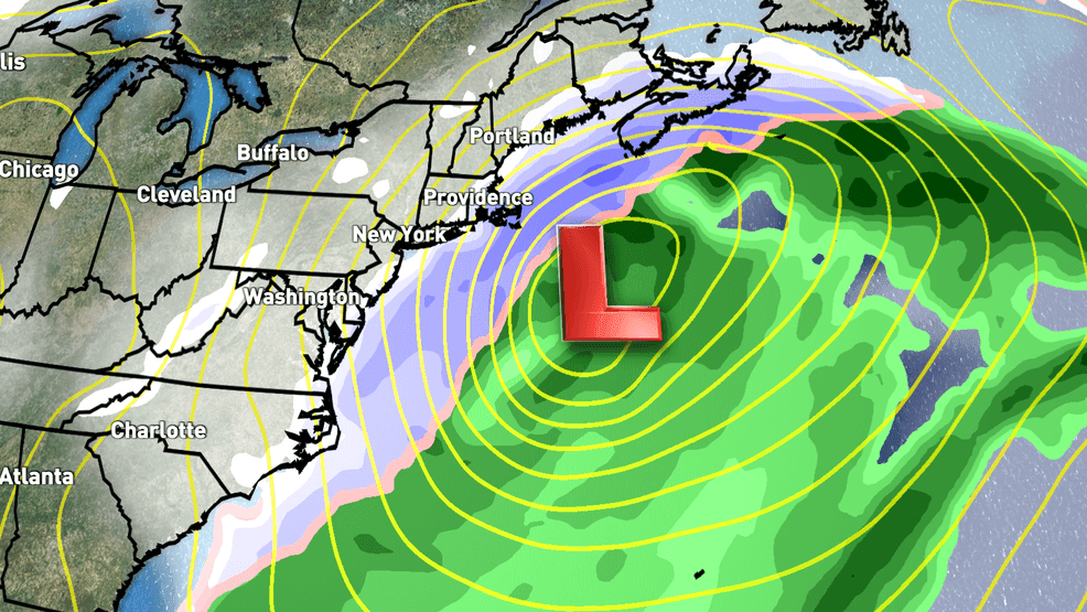
Storm Team 10 continues to keep a close eye on the late weekend as a coastal low pressure is forecasted to develop. While the last storm brought a long duration snow and sub-severe winds, this storm is notably different in structure.
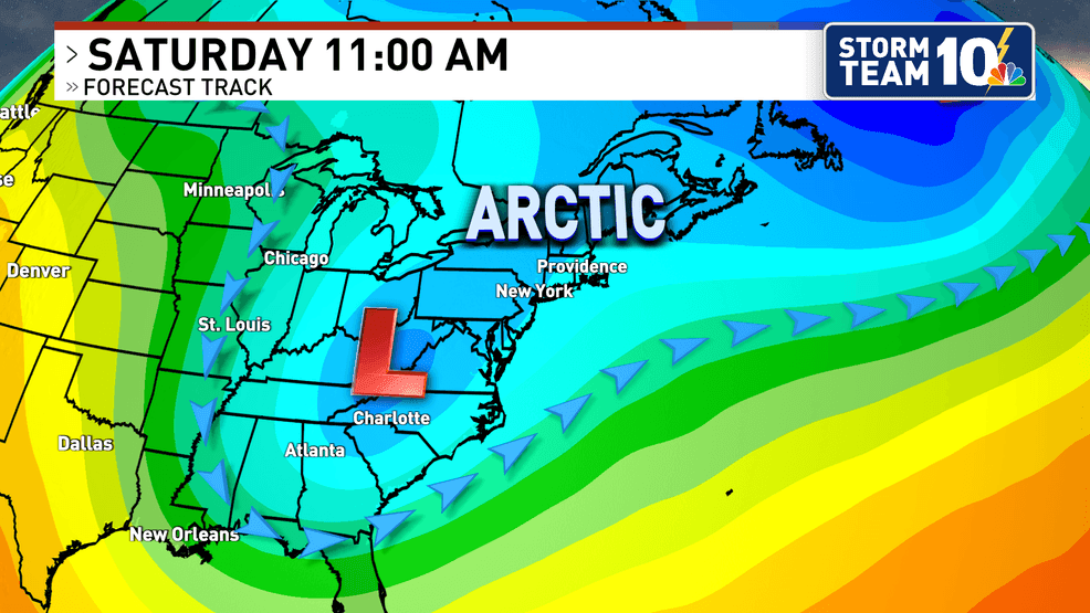
A deeper (stronger) system than last week means that wind will be critical element in the forecast. At this time we have more questions than answers pertaining to impacts, as be expected several days out.
With the dip in the jet stream further east than last weekend's storm, the system isn't really expected to get going until it meets the Atlantic. High confidence exists in the storm's development and strong wind field, but low confidence remains on where the storm will track. Expect models to shift in the coming days, so nothing is set in stone just yet.
Stay warm over this bitter stretch this week, making sure those around you (esp. pets/elderly/children) are doing the same.
Storm Team 10 will keep you in the loop for the weekend cold and snow potential.