More snow on the way as clean up continues Monday
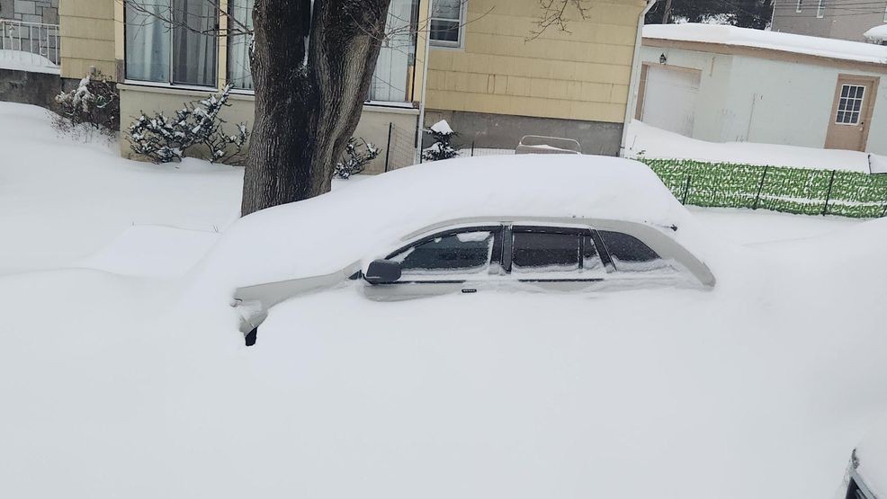
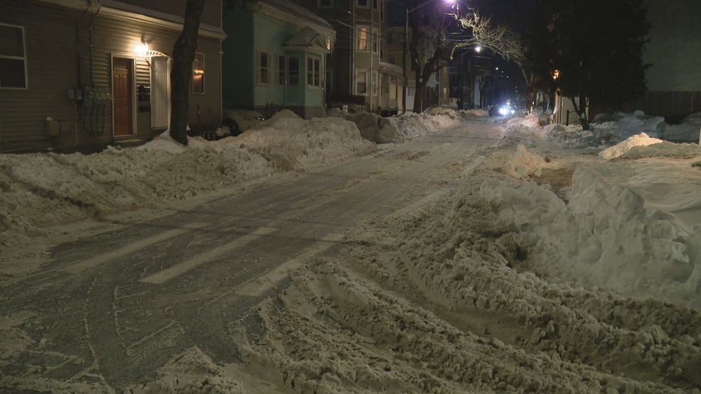
Southern New England is digging itself out from underneath a widespread 12-18 inches of snow that has fallen so far! The official measurement of 13.3" at T.F. Green Airport, our climate site for Rhode Island and southeast Massachusetts, is the most snow since the Blizzard of 2022! Not only that, but 13.3" is only 2.6" away from our season total from last winter!
Around the rest of the region, the big winner is Warren! 17.7" measured as of 6 AM on Monday.
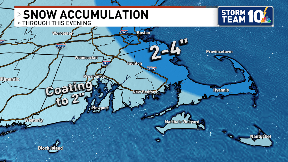
This storm is not over, either. More snow is in the forecast this afternoon as the radar fills back in with light to moderate snow.
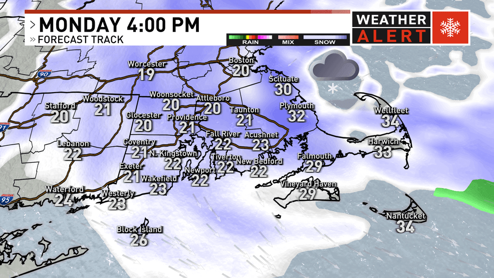
Snow could persist all the way into Monday evening, leading to additional snowfall accumulation.
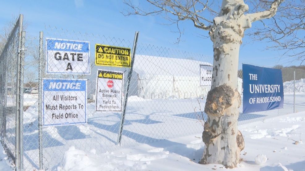
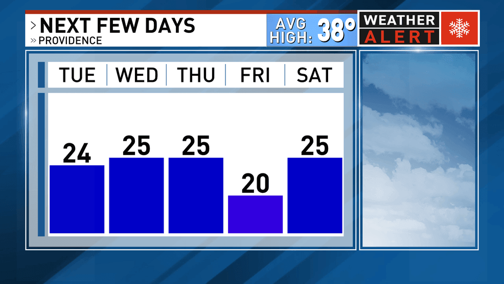
Conditions start to improve by Tuesday, but the bitterly cold temperatures are the prevailing theme on the 10-day forecast! Make sure you take care of snow removal, because it isn't melting this week!
Thanks for reading! Stay with Storm Team 10 for the latest.